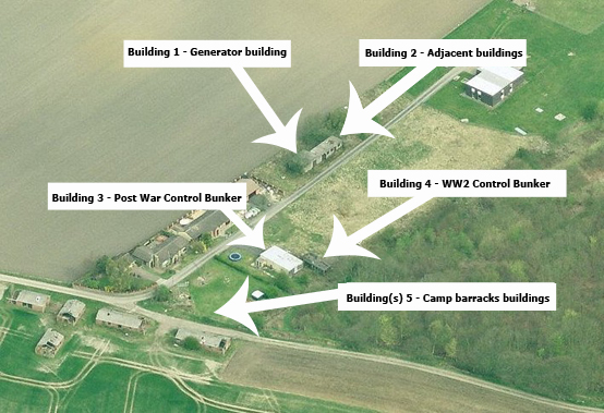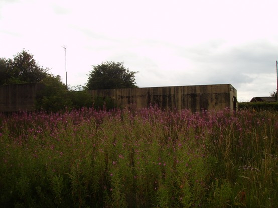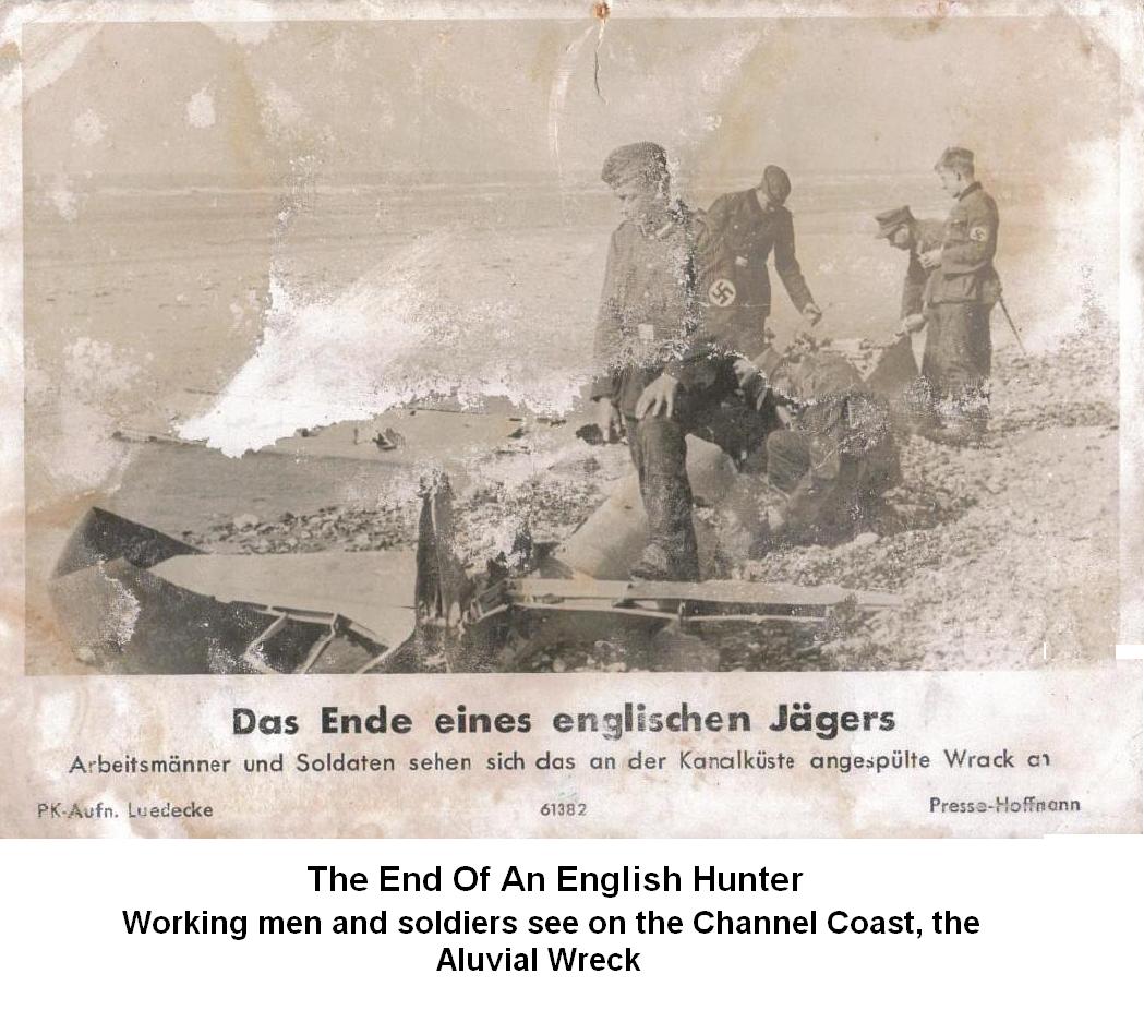
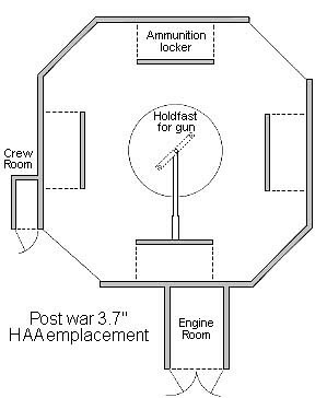
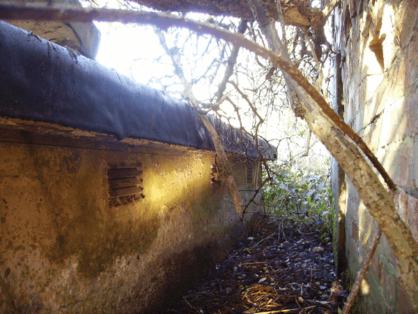
Battery Station H17 Barrows Green In 1949 Penketh's Heavy Anti Aircraft gun Battery was selected for Orange Yeoman Trials and also included 5 other gun sites in the Trials. The gun sights included Crank [MY10] Altcar [MY66] Norley [MY39] Flint [MY45] Thurstaston [MY24] and Penketh [MY76]. Two pairs of lines were connected from each gun site to the Orange Yeoman Tactical Control Radar and Data Handling Centre at Newton Hollow, Newton near Frodsham, Cheshire. The radar Head at Newton Hollow was of the Number 4 mark V11 Type which was known as Orange Yeoman, supplemented by a new number 11 Predictor with a detection range of 100,000 Yards and a height of 60,000 feet and the ability to give radar information directly to the gun sites, using an automatic data transmission system. Using data from the radar, the predictor was able to calculate the target Trajectories and feed the information directly to the gun sites.The Penketh heavy anti-aircraft gun battery is located on the north side of South lane the A5080 road at Penketh Warrington. The gun battery was a reused World war 2 site consisting of three 3.7 INCH gun emplacements. With the cold war looming and the threat of nuclear war by long-range enemy bombers carrying nuclear weapons, it was decided to refit the Penketh gun site out to the 1951 igloo scheme. Four new 3.7 INCH gun emplacements were constructed laid out in an arc, some of the ww2 emplacements were also reused with the addition of an engine room. The new post ww2 gun emplacements are eight-sided with two of the sides open for access, four ready to use ammunition lockers were fitted to the side walls, the existing ww2 emplacements had six lockers. Also constructed were a small crew refuge room and an engine room at each of the four new emplacements. Each of the engine rooms was fitted with an electric motor driving a hydraulic pump to train the guns and power the automatic loading mechanisms of the gun. In the centre of each emplacement, was a gun mounting fitted into the concrete floor to secure the gun called a holdfast. The original semi-sunken ww2 command post was abandoned and a new command post together with its radar hardstanding was constructed sited to the north-west corner of the site. The original ww2 generator building and the 2 ammunition magazines will also be reused. When the site was visited on the 3/ 12/ 2014 the generator building and the2 ammunition magazines appear to be in fair condition and also the semi-sunken command post with its surface features for its instrument positions are still present, and the stairs leading down to the plotting room arrive at the basement to it being heavily flooded out. The post ww2 command post survives in good condition being used as horse stables, the adjacent radar hard standings are mostly demolished. The seven gun emplacements are each in a variety of condition the northern emplacements being in dense vegetation and tree growth. The Camp billets alongside south lane where the site entrance is located has been demolished the building foundations are still visible. Towards the end of WW2 these camp billets were occupied as German & Italian POW and were known as camp 290 The original camp brick water tower is still present, also in this area is a large building which has no military importance it's a disused chicken farm factory. With more advanced weapons arriving such as the surface to air missiles the site was disused and closed in the early 1960s. Record Site Plan
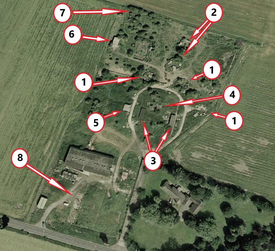
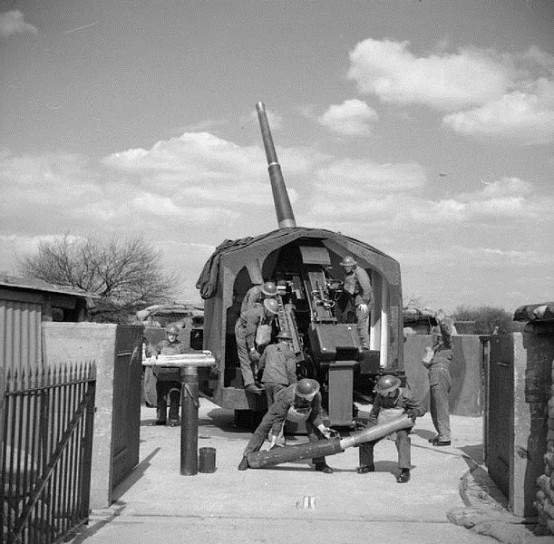
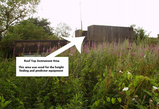
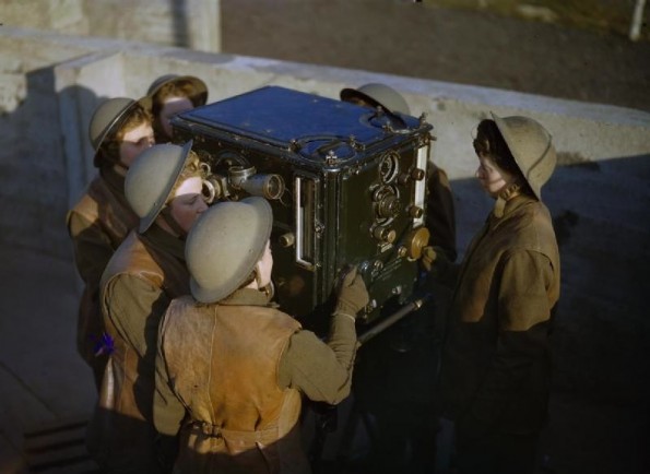
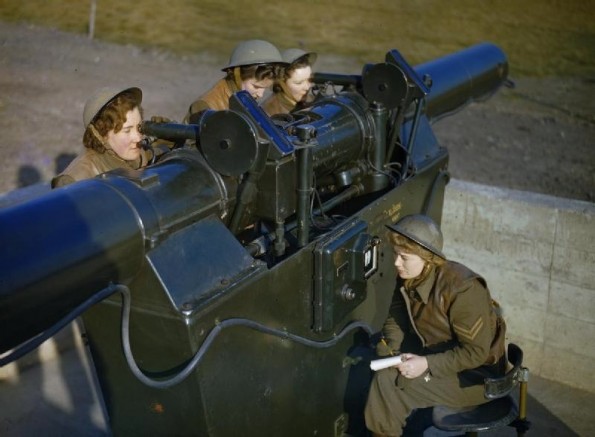
Legend 1 Surviving WW2 Emplacements X 3 2 Surviving Post WW2 Emplacements X 2 3 West & East Ammunition Magazines WW2 (2 Buildings) 4 WW2 Command Post 5 WW2 Generator Building 6 Post WW2 Command Post 7 Remains of GL Mark 2 Gun Laying Radar Hard Standings Post WW2 8 Remains of Camp Barracks The WW2 Height & Predictor Instruments. These instruments were located on the roof of the ww2 command post. The height and range finder instrument consisted of two telescopes placed in a long - base tube. The operators looked through the eyepieces and pinpointed the aircraft, noting the hight and range, and sent this information to the predictor crew. The predictor instrument would calculate how far in front of the aircraft the shell should explode to knock the aircraft off course, taking account of the speed as well as the information received from the height and range finder. The crew would look through the eyepieces and see a small image of the aircraft and turn dials to keep the image in place, and as soon as they were on target, the information would automatically be feed to the gun emplacements. ATS girls using the predictor instrument
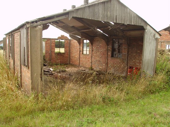
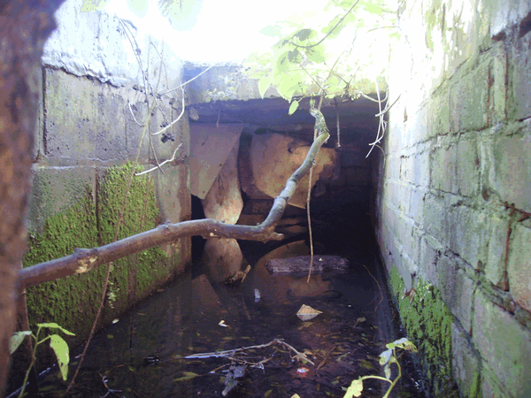
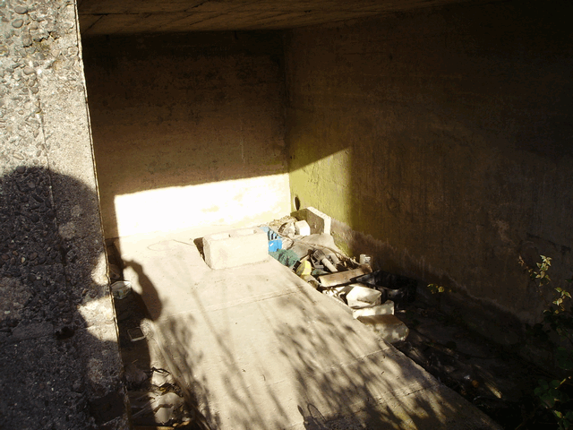
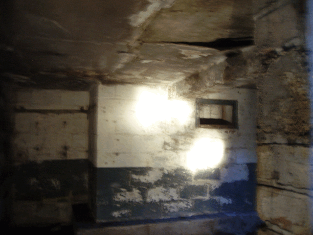
command post plotting room.
flooded command plotting room
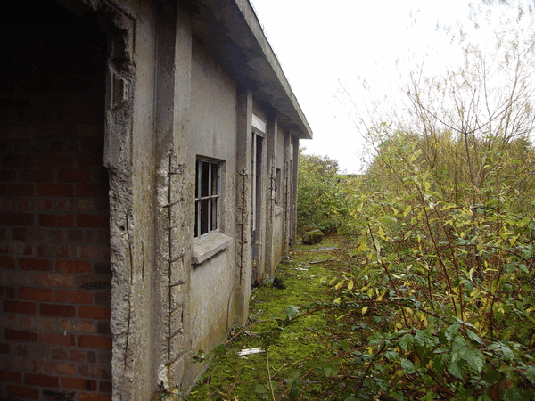
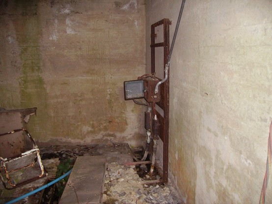
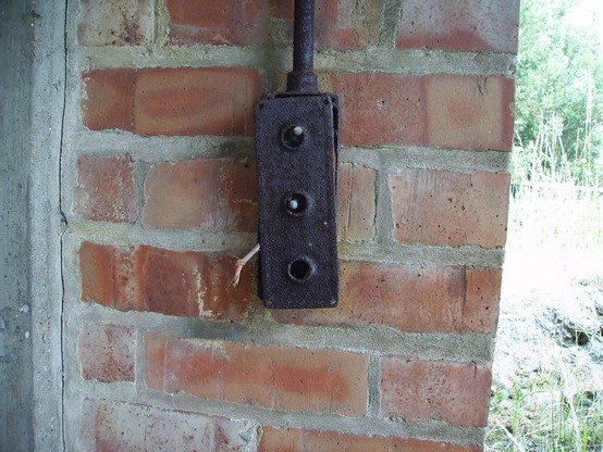
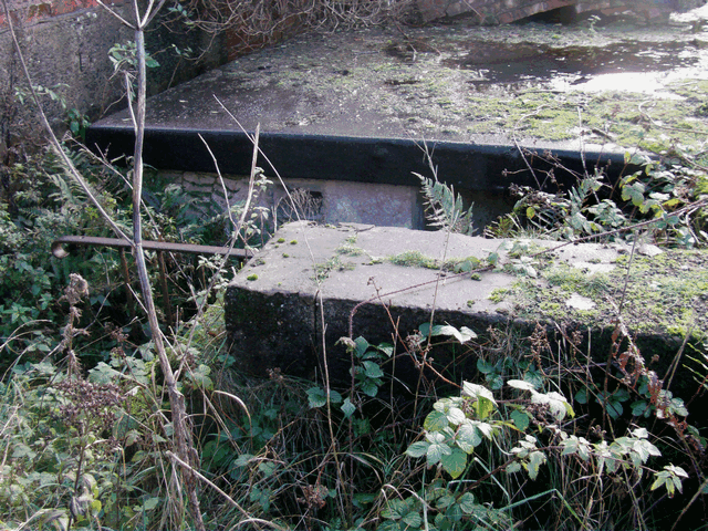
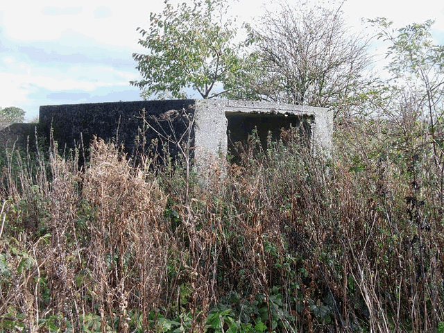
northern end of the site. This emplacement has been modified with the addition of an engine room. The electrical steel conduit can still be seen on the right-hand wall.
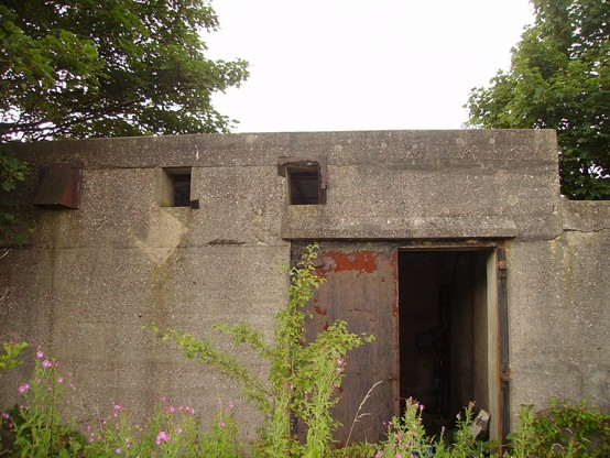
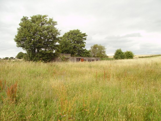
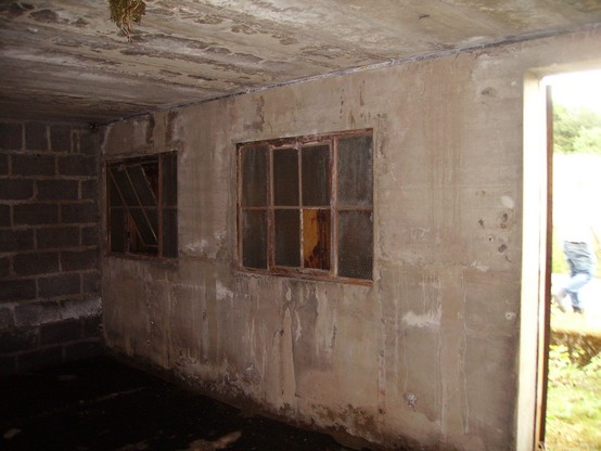
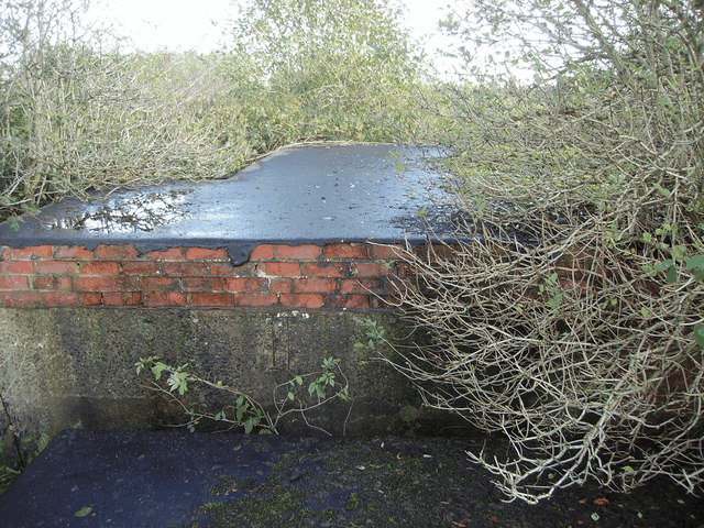
built during the site refit period. The WW2 command post was disused when the new command post became operational.
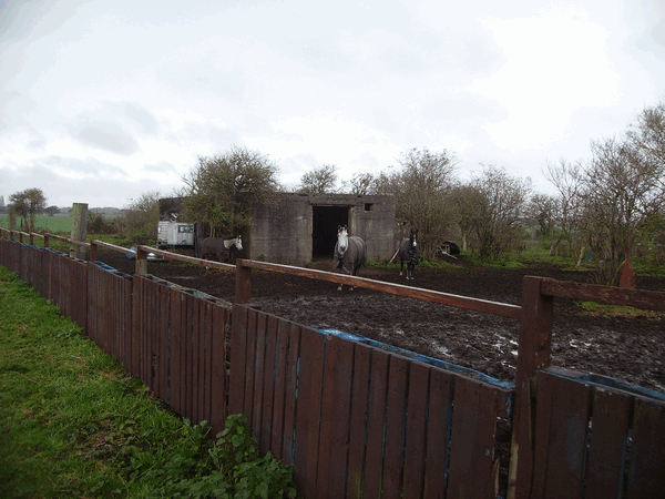
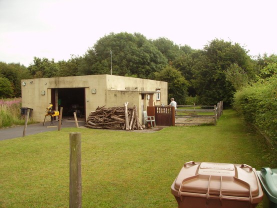
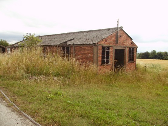
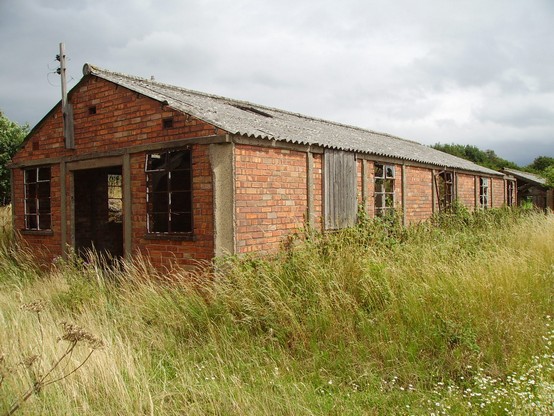
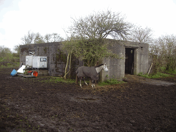
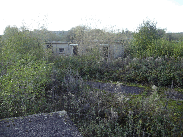
building is now being used as horse stables.
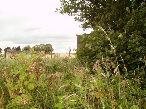
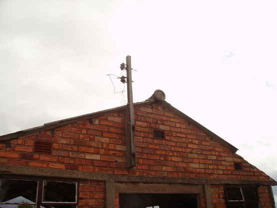
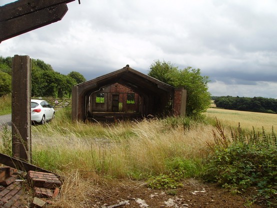
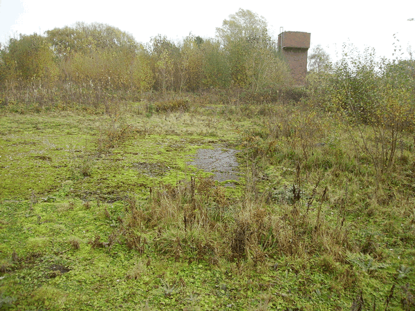
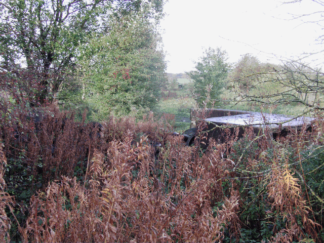
the WW2 water tower in the background.
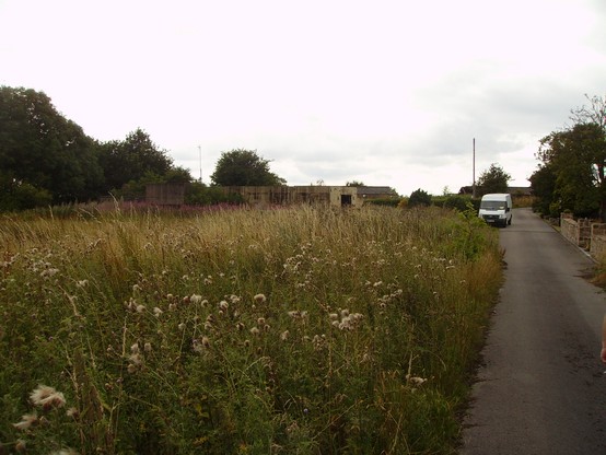
connection with the site, it is an abandoned chicken farm.
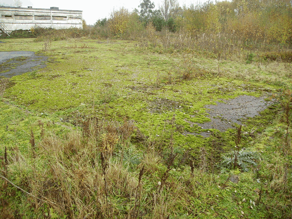
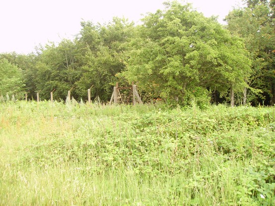
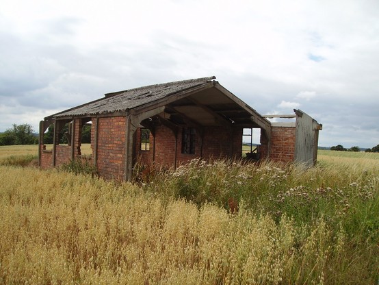
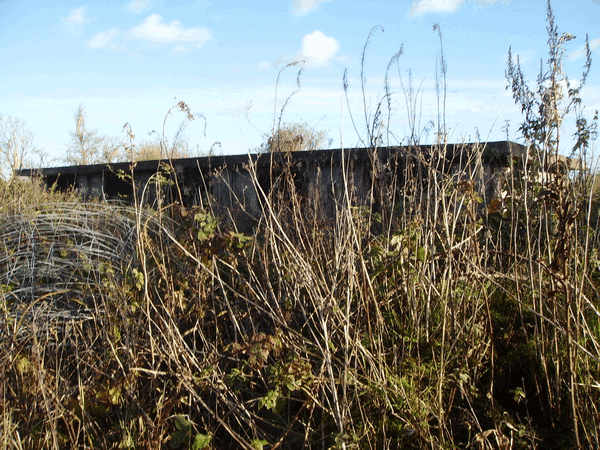
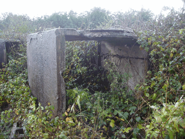
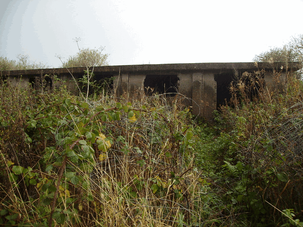
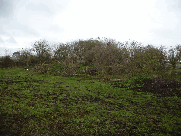
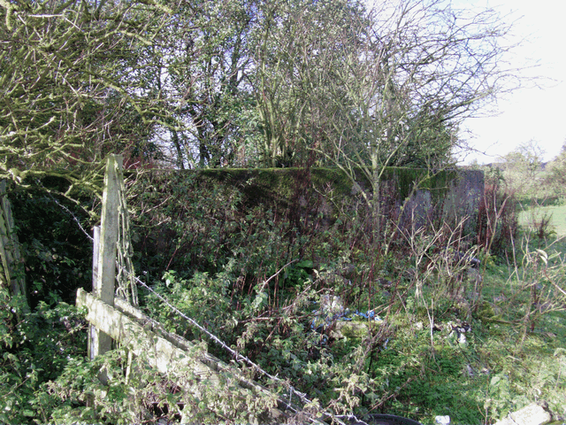
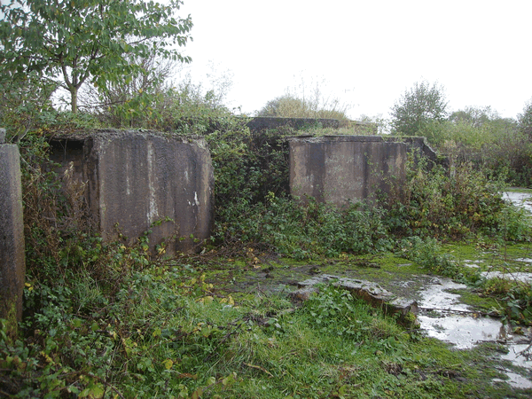
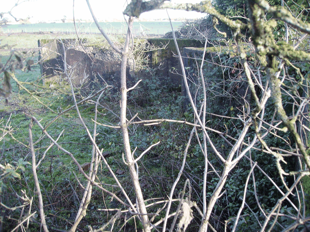
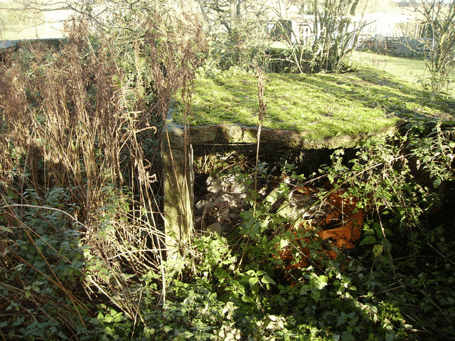
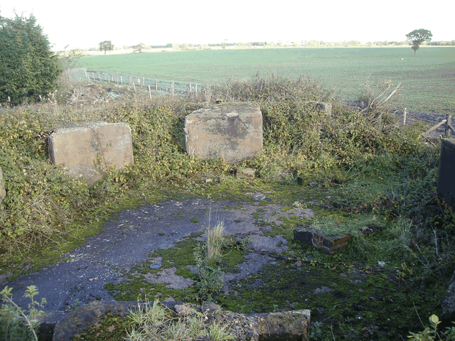
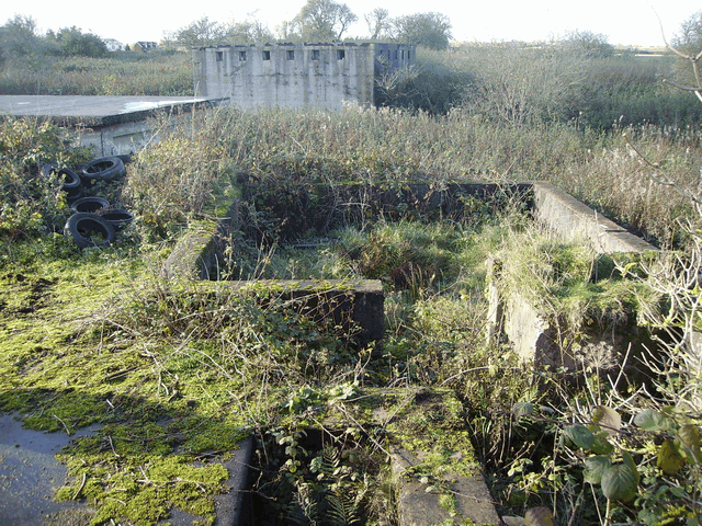
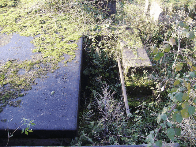
the north of the site heavily overgrown

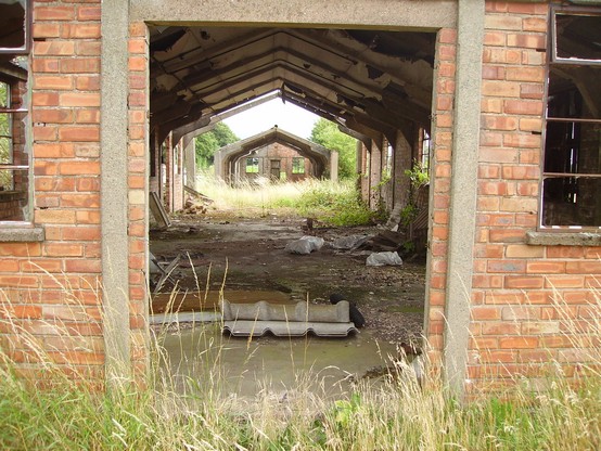
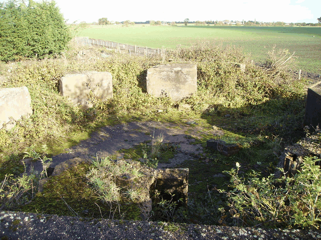
to the right is the enclosure of the height and range finder instrument. And in the background is the West ammunition magazine and the generator building
site photo taken on the roof of the engine room
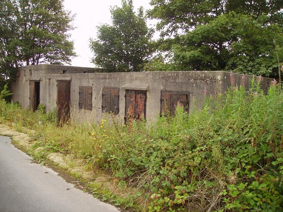
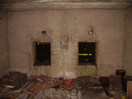
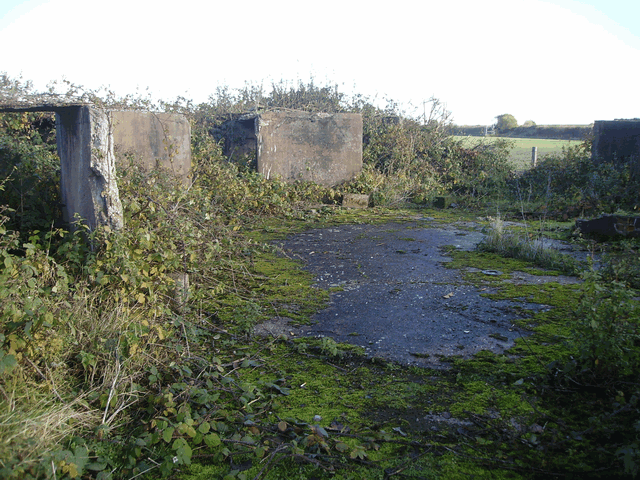
ammunition Lockers have been retained. world war 2 emplacements had 6 lockers and post world war emplacements had 4.
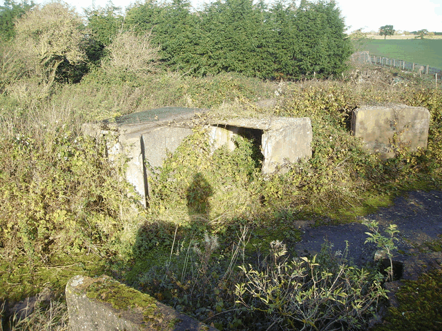
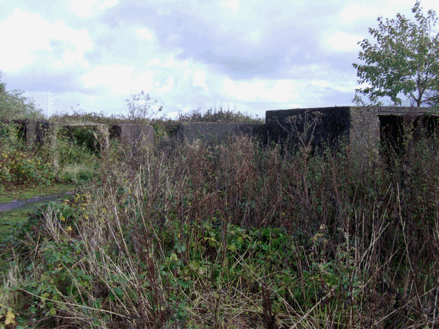
As you can see the WW2 emplacement has been modified with the addition of a crew room in the foreground to the left and an engine room in the foreground right.
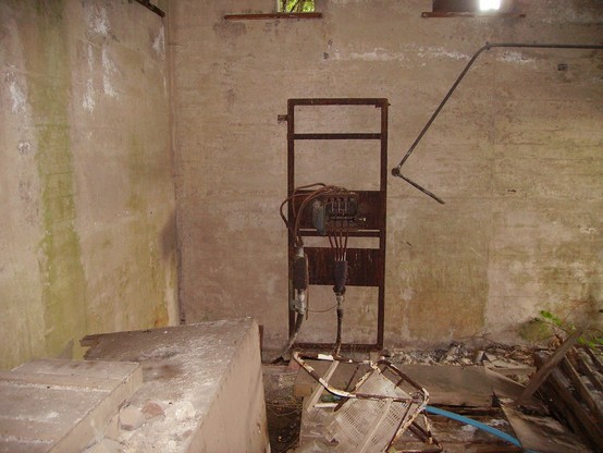
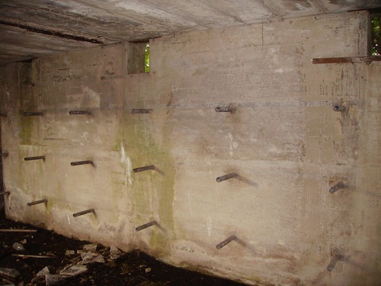
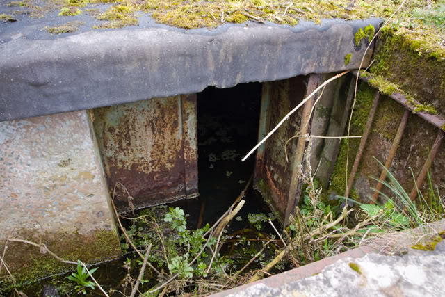
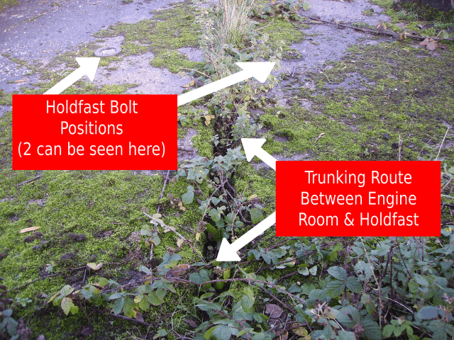
studs and trunking between the engine room and the gun. The engine room was installed with an electric motor driving a hydraulic pump to train the gun and the automatic loading mechanisms of the gun.
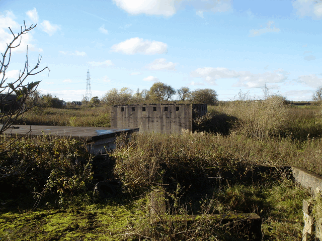
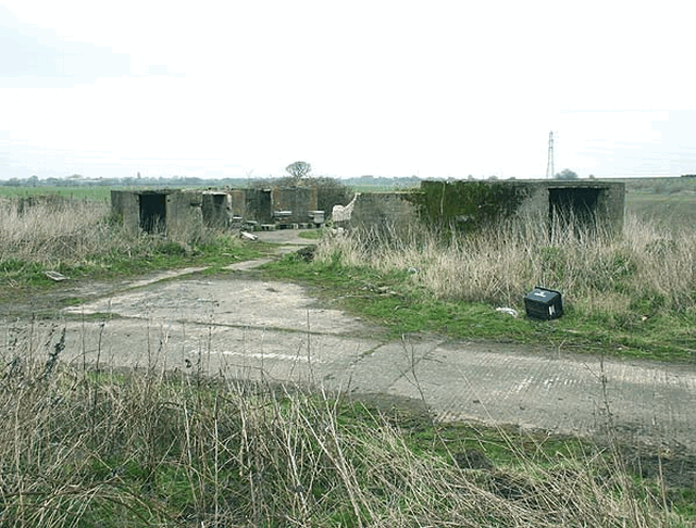
predictor and the square open area behind was for the height finder. In the background can be seen the west ammunition magazine and the electrical generator building.
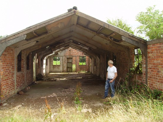
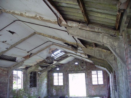
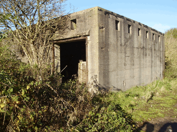
(Typical Gun Battery)